
Oklahoma City Neighbors by Block
Start with the source that matches the question. The City’s GIS services describe parcel shape and public geography. The assessor relates a selected parcel to a current tax-roll record. The County Clerk supplies recorded transfers and legal descriptions. Historic directories can place a printed occupant at an address in certain years. Each source is dated and limited, so it is safer to build a small block worksheet than to treat any single map or list as a roster of Oklahoma City neighbors.
| Block source | What it can show | Access route |
|---|---|---|
| City GIS parcels | Adjacent parcel shapes, parcel identifiers, boundaries, and public layers | Public GIS services; interactive controls were not published in the text-only source |
| County Assessor | Current owner presentation, tax-roll mailing and situs addresses, account, and legal description | Free address, account, owner, or legal-description search |
| County Clerk | Recorded transfer parties and legal descriptions for a selected parcel | OKCC.ONLINE, counter, or Open Records route |
| OHS Criss Cross | Historic address-to-occupant lines in specific directory years | OHS Reading Room |
| Neighborhood association map | Association names, boundaries, or civic context where listed | City map and data resources; no universal member list |
A property owner may not be the occupant. A mailing address may be a correspondence address. A historic directory entry identifies what was printed in that edition, not every person who was present on that block. Keep those categories separate when comparing Oklahoma City neighbors.
Note: Begin with side, front, and rear parcels before widening a block search to avoid mixing unrelated street segments.
Oklahoma City Parcel Records Start
Use the Oklahoma County Assessor Public Access System to search the subject address. It supports physical address, owner name, account number, subdivision, block and lot, map number, deed book and page, and occupant/building name. Save the account number, situs, mailing address, and legal description before moving to the map. The assessor calls a physical address the situs, while the mailing address is the tax notice destination.
The legal description is the stable handoff between systems. An address may be revised, a parcel may be split, or an old street form may be unfamiliar, but the subdivision, block, lot, or other recorded description can guide a search in the County Clerk index. The assessor says some parcels lack a physical address, so the alternate search fields matter.
Mapping Oklahoma City Neighbors
The City of Oklahoma City public GIS service directory exposes parcel geocoders, public map services, city boundary, council ward, zoning, planning, and Street Name Change layers. The official text does not identify a published live viewer URL or confirm exact buffer controls, so use the services to identify parcels rather than claiming an unsupported radius search.
- Search the subject address in a parcel geocoder or Assessor map and save the account and legal description.
- Inspect the parcel boundary and identify touching side, front, rear, and opposite parcels, recording each parcel identifier or legal description.
- Return each selected parcel to the assessor for its current tax-roll fields, then label those results as owner or mailing information rather than household proof.
- Search the County Clerk for the parcel description and transfer parties when a dated ownership question remains.
- Use a Street Name Change layer, city boundary, or ward layer as context, not as evidence of a person’s residence.
For a full named-street sequence rather than a tight block, use the Oklahoma City Street Directory. That address-led workflow covers deed, permit, and historic-directory research across a street instead of treating all nearby parcels as one household group.
Oklahoma City GIS Record Limits
GIS geometry is a discovery tool, not a legal survey or a title decision. The City’s public services can provide parcel geocoding and layers, but the research did not expose the live viewer’s identify, select, measure, export, or buffer behavior. Record the map date and the layer name, then return to the assessor account and County Clerk instrument for the record that supports a specific conclusion.
Parcel lines can change after a replat, vacation, or annexation. A map label today may not explain a historic deed. This is why an Oklahoma City neighbors worksheet should keep three separate columns: mapped beside the subject parcel, current tax-roll owner or mailing field, and historical deed parties.
Oklahoma City Neighbors and Deeds
When a nearby parcel needs an ownership history, search OKCC.ONLINE by the owner or grantee name and by the legal description saved from the assessor. Note the grantor, grantee, recording date, instrument type, document or book/page number, and image status. A deed party is connected to the recorded instrument, not automatically a person who occupied the site.
The County Clerk’s written property records reach from the first U.S. patents and territorial period to the present in office, but an online historical cutoff was not published. If the index stops, use the Clerk counter, deed books or microfilm, and a specific Open Records request. The County Clerk office page is the source for its records responsibilities, forms, fees, and request information.
Oklahoma City Voter Lookup Boundaries
The Oklahoma Voter Portal is designed to confirm one known voter. It requires last name, first name, and date of birth. It is not an ordinary public block roster, and a non-match means only that the person was not found under those identifiers. Phone and email are not public voter-file fields under the State Election Board notice.
The Election Data Warehouse is a separate controlled route. Eligible requestors may seek voter registration and history data through the State Election Board process, with an attestation and stated use restrictions. The data updates nightly and includes a deleted-voter file for the past 24 months, but access rules and protected records still apply. The County Election Board and State Election Board Open Records channels can handle a specific lawful records request; they are not required to create a custom block report.
Restricted Records participants and Address Confidentiality Program participants can be absent from ordinary public lists. Do not treat a missing voter result as evidence that someone never lived near an Oklahoma City address.
Oklahoma City Neighborhood Directory Layer
City association resources add civic context, not a household directory. The Oklahoma City neighborhood-associations map and the related data set identify active association areas and names where published. They do not establish that every owner or household belongs to the group. Use them to find a community contact route, a preservation lead, or the right neighborhood name for library and planning research.
| Community resource | Official context | Responsible use |
|---|---|---|
| Capitol View Neighborhood Association | Strong Neighborhoods Initiative cohort, 2018–2023 | Community and planning context; no member roster located |
| Historic Capitol Hill resources | Strong Neighborhoods Initiative cohort, 2018–2025 | Use City map and cohort material for civic history |
| Metro Park Neighborhood Association | Strong Neighborhoods Initiative cohort, 2020–2025 | Association and progress-report context only |
| MLK Neighborhood Association | Strong Neighborhoods Initiative cohort, 2023–current | Current public planning contact and progress context |
| Crown Heights-Edgemere Heights Neighborhood Association | City preservation-award story in 2026 | Preservation and neighborhood-history lead, not a resident list |
For help creating or contacting an association, the City’s neighborhood resources identify the Neighborhood Alliance of Central Oklahoma as an umbrella route. Police Community Relations also works with associations, churches, civic groups, and neighborhood-watch efforts, but the official sources did not locate public membership lists for those groups.
Oklahoma City Neighborhood Records
The Strong Neighborhoods Initiative offers an Oklahoma City geography layer that is more useful than a guessed association boundary. City cohorts include Capitol View, Historic Capitol Hill, Metro Park, MLK, Stockyards, and Ross Heights/Pitts Park, with public progress reports and neighborhood contacts. A cohort describes planning attention and civic work, not membership.
The Crown Heights-Edgemere Heights Neighborhood Association received a 2026 preservation award from the City. That story links present community work to markers, signage, preservation, and local history. For an older block, pair that kind of civic lead with OHS Criss Cross entries, the 1898 Sanborn map set, Metro archive material, and a dated parcel record instead of assuming the present association reflects past households.
Note: Postal ZIPs, neighborhood names, city limits, and association areas overlap but are not interchangeable Oklahoma City boundaries.
Oklahoma City Safety Lookup Sources
The Oklahoma Department of Corrections offender-information page links to official offender, sex-offender, and violent-offender search routes. These are specialized state sources with their own legal limits. They are not general tools for identifying Oklahoma City neighbors, and state custody information is not the same thing as a county detention record.
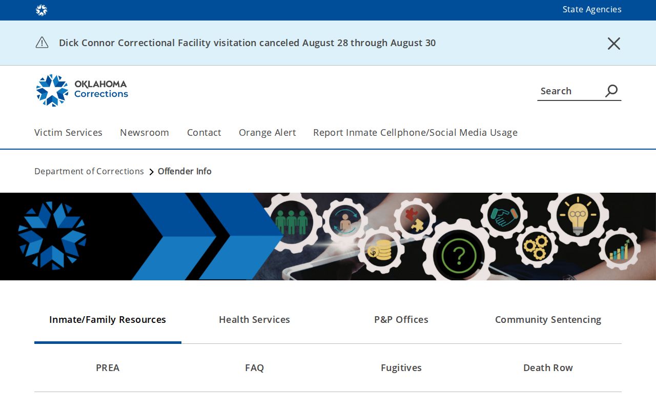
The ODOC landing page helps keep a safety-related search on an official source. It also notes that release-date information is confidential unless the requester shows a legitimate need.
The Oklahoma Sex Offender Registry has its own disclaimer and search entry. A registry result is not a full criminal-history report, and no result is not a statement about every kind of record.
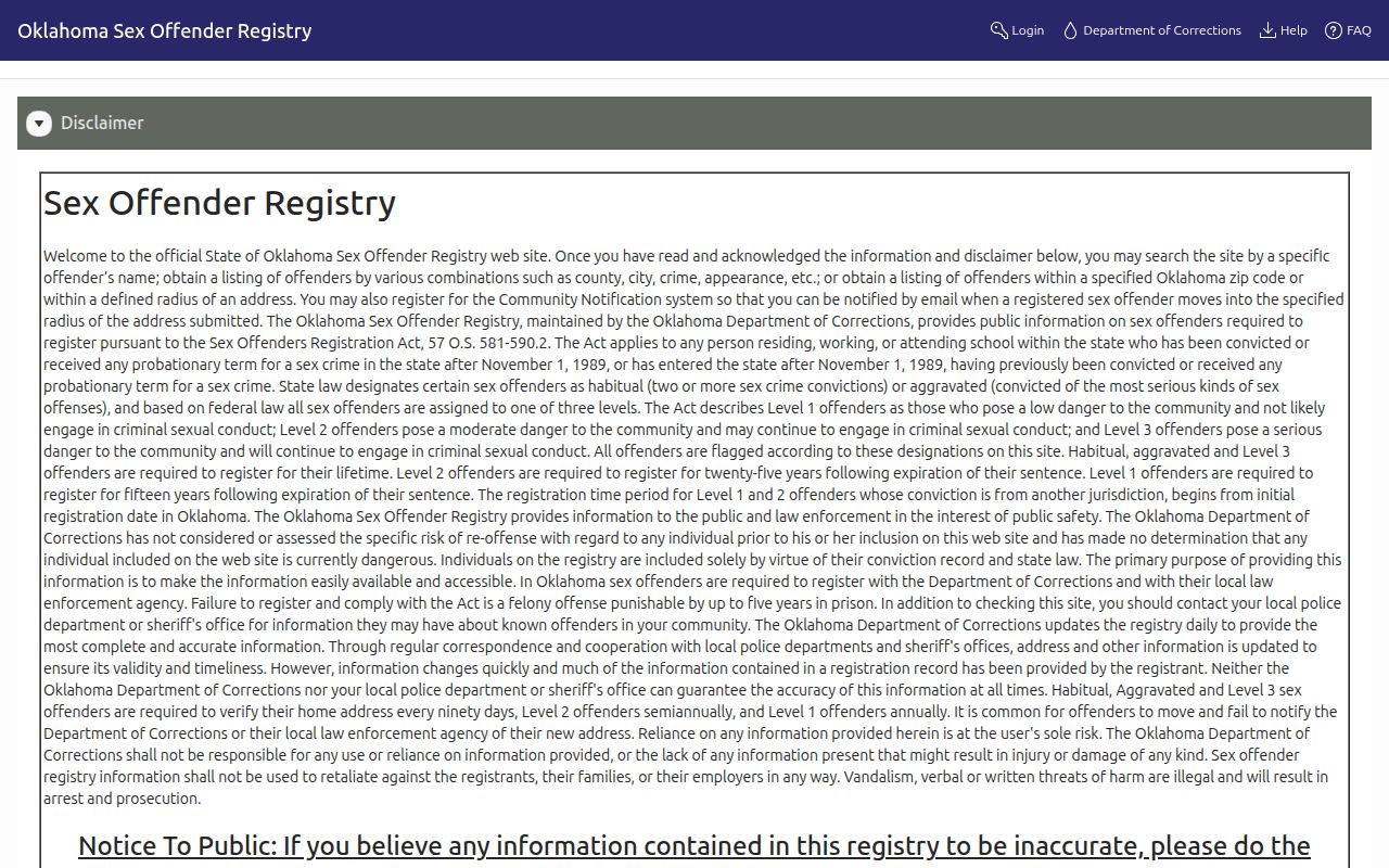
Use the registry only according to its stated terms and with the caution shown on the official entry. Do not turn a specialized public record into a broad claim about a block.
Oklahoma City Neighbor Privacy
Some block information remains private by design. Utility customers, delivery information, driver records, and private household details are not public resident directories. The Oklahoma Address Confidentiality Program protects qualifying participants with a substitute address and confidential application record. The State Election Board Restricted Records Program protects qualifying people and family members from ordinary voter-list exposure.
| Official block record | Commercial neighbor tools |
|---|---|
| Shows a defined record type, custodian, and date that can be checked at the source. | May combine records with different dates and merge people who share a name or address history. |
| Supports a parcel, deed, directory, or voter-access question within that source’s limit. | Should not replace a current assessor, Clerk, GIS, or State Election Board verification. |
Lawful use. Use Oklahoma City neighbor records for civic context, family reconnection, or personal safety awareness. Never use a parcel, voter, association, or registry result to watch, harass, or intimidate anyone.
Oklahoma’s anti-stalking law includes Title 21, §1173. If a search indicates a protected person or a safety concern, stop the block lookup and use the relevant official safety or advocacy channel.