
Walk an Oklahoma City Street
A useful Oklahoma City address search starts by normalizing the address. Keep the directional prefix or suffix, street type, ZIP, unit, historic spelling, subdivision, block, lot, and a nearby cross street on the same worksheet. The County Assessor advises entering the direction with a physical-address search, and the city grid makes that detail material. Search the present form first. For historic work, also try a fully spelled numbered street and the written directional word, since the Oklahoma Historical Society recommends those forms for older newspapers and address research.
- Confirm the city, county, and ZIP context with the City boundary and ZIP datasets before treating a postal label as a city limit.
- Run the precise address in the Oklahoma County Assessor Public Access System. Save the account number, situs, mailing address, owner presentation, and legal description.
- Use City GIS services to place the parcel, inspect nearby parcel geometry, and note any Street Name Change layer indication.
- Search OKCC.ONLINE with the current owner as grantee and with the legal description. Record the document or book-and-page reference.
- Check the City permit route by street components and date, then use historical address directories only as dated occupant evidence.
Each result belongs in its own column. A tax-roll owner is not automatically an occupant, and a permit application does not prove who lived at the site. That small discipline prevents a long Oklahoma City address search from becoming a mixed, undated list.
Oklahoma City Assessor Street Searches
The free Oklahoma County Assessor Public Access System is the first official address route for an Oklahoma City street search. It searches current tax-roll information, not a historical ownership list. Searches are not case-sensitive. Owner entries use last name first, while punctuation, commas, and hyphens should be omitted. For an address, enter the block number plus direction and street. The suffix is optional. A percent sign is the published wildcard, but broad wildcard searching can pull similarly named street segments, so retain the exact query with each result.
| Assessor field | Input | When it helps | Format note |
|---|---|---|---|
| Physical Address | Street address | Known situs address | Direction is needed; % can broaden a query |
| Name | Owner name | Address is incomplete | Last name first, no punctuation |
| Real Acct # | Account number | Returning to a known parcel | R plus nine digits |
| Subdivision, Block, Lot | Legal-description parts | Street number is absent or changed | Wildcard accepted for subdivision |
| Map # or Deed Book & Page | Map or deed reference | Connecting a prior record | Book and page are paired inputs |
| Occupant/Bldg Name | Named structure | A building label is known | Discovery field, not a household list |
Some parcels have no physical address. In that case, the Assessor directs searchers to the legal description and offers telephone or office help at 405-713-1200. The parcel card can carry an account, owner, occupant or building name, situs and mailing addresses, subdivision, block and lot, map number, deed reference, legal description, value context, and exemption flags. Treat the card as a present-day tax snapshot, not proof of every resident on the street.
Note: Keep the account’s leading letter and full digit count, because that identifier is the cleanest handoff to tax and map research.
Oklahoma City Street Record Terms
Address records use terms that look alike but answer different questions. On an Oklahoma City street, the most durable bridge is often the legal description rather than the visible house number. That matters when a parcel is replatted, an address is revised, or a directional element was omitted in an older record. The County’s map notice also says its map is not a legal survey. Use the map to find the parcel, then use the recorded deed and legal description for the title question.
- Parcel
- A defined piece of land tracked by an assessor account and map geometry. It can contain one address, more than one unit, or no physical street address.
- Situs address
- The physical location of the property. It is distinct from the mailing address where the tax notice is sent.
- Plat
- A recorded subdivision map that lays out lots, blocks, streets, and related legal-description details.
- Criss Cross directory
- A reverse directory arranged by address, useful for finding a historical occupant line before checking a name directory or newspaper.
A different mailing address may be a PO box, another city, a management address, or an old tax-roll delivery address. It can be a lead worth labeling, not an occupancy finding. Likewise, an exemption flag is an application or assessment-status signal, never a complete account of who is present at the property.
Map an Oklahoma City Street Parcel
City GIS services supply the geographic half of address research. The Oklahoma City public GIS service directory exposes parcel geocoders, public map services, city boundaries, council wards, zoning and planning layers, and a Street Name Change layer. Use those services to test whether the address sits inside the city boundary, to see the parcel shape, and to identify the map context around a street segment. The official text available for this research did not expose a single interactive owner-card workflow, so a map label should not be treated as an owner finding.
Start with the address, then return to the Assessor account and legal description. If the map seems offset or an old address does not land cleanly, do not repair it by guesswork. Compare the subdivision, block, lot, map number, and current street form instead. The GIS map can reveal a boundary or district; it does not transfer title and it does not replace the recorded description.
For a long road, divide work by a cross street, subdivision, map sheet, or ZIP. That produces a manageable Oklahoma City by-street record trail and reduces the risk of merging a unit address with an adjacent parcel.
Trace Oklahoma City Deeds by Street
Once the Assessor and GIS identify a legal description, the Oklahoma County Clerk’s recorded-land system can move an Oklahoma City address trail backward through ownership transfers. Search the current owner as grantee, note the seller as grantor, then search that seller as an earlier grantee using the same lot, block, subdivision, or other legal-description language. Save the recording date, instrument type, document number or book and page, and whether an image is available. A grantor is the party conveying an interest; a grantee is the party receiving it.
The County Clerk describes written property records from the first U.S. patents and territorial period to the present, but the official material did not identify an online index or image cutoff. A missing online result is therefore not proof that a document is absent. The fallback chain is the Clerk’s office, its Open Records procedure, deed books or microfilm, and local historical repositories. Electronic record images have their own fee schedule, while office and Open Records copies may have different products and charges.
Follow linked plats, releases, mortgages, probate, trust, foreclosure, or transfer-on-death instruments where the deed points to them. A deed documents a transfer. It does not, by itself, establish that either named party lived at the property.
Oklahoma City Street Records Compared
No single Oklahoma City address source supplies every fact. The table separates the address-keyed sources so that a property trail is not mislabeled as a resident roster. Use the date, keeper, and result type alongside each entry. The County Treasurer is especially useful for checking whether the same account appears in the current year and six prior years, while the permit system can help date work at a site.
| Address source | Official keeper | Street-level result | Access route |
|---|---|---|---|
| Assessor parcel card | Oklahoma County Assessor | Current owner, account, situs, mailing address, legal description | Free portal, phone, or office |
| GIS parcel services | City of Oklahoma City | Parcel geometry, boundaries, districts, and geocoder context | Public GIS services |
| Recorded land index | County Clerk, Registrar of Deeds | Grantor, grantee, instrument, record date, and legal description | OKCC.ONLINE, counter, or Open Records |
| Tax account | Oklahoma County Treasurer | Name or address and current plus six prior tax years | Free Treasurer search |
| Permit record | Oklahoma City Citizen Portal | Project address, applicant, date, status, and public documents | Address search; older material through City Clerk |
| Historical address directory | OHS and Metro Library | Former address-to-occupant lines in selected years | Reading room, archive, or library help |
The Treasurer search is a tax-account cross-check, not a household list. Permit results are property-work evidence, not a reliable occupancy result. Keeping those distinctions visible is what makes a street-by-street search dependable.
Oklahoma City Permit History by Address
The City permit search adds dates that neither the tax roll nor a deed necessarily supplies. Its address inputs can use street number, direction, name, suffix, ZIP, unit, date, applicant, or permit number. Public results may provide a project or application name, status, and supporting documents. Research found a permit backfile beginning in 1983, with a default search window focused on the latest 12 years. For older material, use the City Clerk records route rather than assuming the online screen is complete.
A city maintenance notice in June 2026 documented that applications, payments, inspections, and searches can be temporarily unavailable. If a live search is down, preserve the exact address and date range, then request the specific older record from the department or City Clerk under the Oklahoma Open Records Act. The law provides prompt, reasonable access subject to specific requests, applicable exemptions, and direct copy costs.
Note: A named applicant or contractor may be tied to the project, but that record does not establish a complete set of occupants.
Read Historic Oklahoma City Streets
For older households, reverse directories are the address-side companion to current property records. Oklahoma Historical Society rows document Oklahoma City directory material from 1889 through 2003, and Criss Cross entries provide an address-to-occupant route in specific years from 1957 through 1991. The historical volumes themselves belong with the Oklahoma City Directory Book; here, their narrow value is checking what an address line recorded at a particular date.
The official Oklahoma Historical Society house-history guide brings together the practical chain: assessor legal description, County Clerk deeds, directories, Sanborn maps, newspapers, and catalog research. It also supports a local search habit that matters on the grid: try both abbreviated and fully written street forms, including numbered streets and “northwest.”
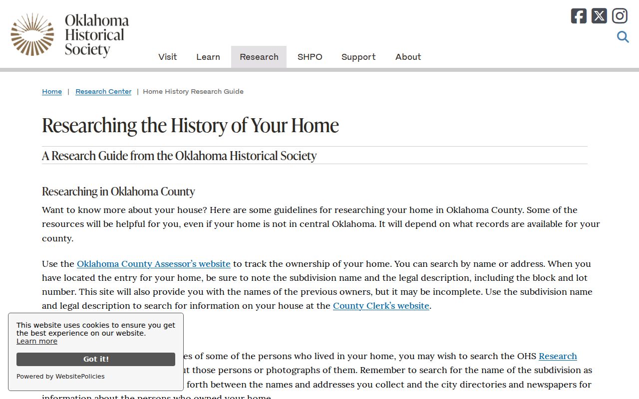
The guide reinforces why a street search needs more than one source. A Sanborn sheet can show a building at a dated moment, a directory can place an occupant line, and a deed can show a transfer, but none should be stretched beyond its record purpose.
Check Oklahoma City Street Names
Oklahoma City uses NE, NW, SE, and SW directional names in a numbered grid. Leaving out that direction can produce a failed or wrong Assessor result. The City GIS Street Name Change layer gives a lead when the present street form does not match a historic source. The city’s growth also means that a historical address may move among city, county, and postal labels. A subdivision, block, lot, or legal description can remain more stable than a street number.
ZIP labels require the same caution. The City ZIP dataset has 58 ZIP and post-office combinations serving the greater municipal-boundary dataset, including postal labels that are not Oklahoma City. Confirm a delivery ZIP with USPS ZIP Code Lookup, then use the City boundary and parcel data to determine the local jurisdiction. A postal-city result alone does not prove an Oklahoma City address.
Limits of an Oklahoma City Street Directory
Public address records are incomplete by design. The Assessor shows a current tax account, not a full household. A voter portal is for a known person and requires first name, last name, and date of birth; it is not a whole-street browser. The controlled Oklahoma Voter Portal has eligibility and attestation rules, and protected voter or Address Confidentiality Program records may not appear on ordinary public lists. Utility customers, delivery records, DMV information, renters, and other household members are not a public Oklahoma City address roster.
When an expected record is missing, keep the search narrow and ask the custodian for a specific record or time period. The County Clerk, Assessor, City departments, Oklahoma County Election Board, OHS, Metro Library, and State Archives use different access channels because they hold different kinds of evidence.