
Oklahoma City ZIP Coverage
The City’s official ZIP boundary dataset uses the fields ZIPCODE and PostOffice. It contains 58 ZIP and post-office combinations in the greater Oklahoma City municipal-boundary dataset. The directional descriptions below are map-reading aids, not USPS delivery boundaries. “Oklahoma City” in the post-office column reflects the City dataset’s label; it does not mean a ZIP lies wholly within the incorporated city. Verify a particular address before using a postal-directory result as an address conclusion.
| ZIP | Area in City dataset | Post office | Local reading note |
|---|---|---|---|
| 73008 | West and northwest inner metro | Bethany | Outside-city postal label can serve metro addresses |
| 73012 | Northwest metro | Edmond | Postal city differs; verify city limits |
| 73013 | North metro | Edmond | Postal city differs; verify city limits |
| 73020 | East and southeast fringe | Choctaw | Postal city differs from Oklahoma City |
| 73026 | South fringe | Norman | Postal city differs |
| 73045 | East fringe | Harrah | Postal city differs |
| 73049 | Northeast and east fringe | Jones | Postal city differs |
| 73054 | Northeast fringe | Luther | Postal city differs |
| 73064 | West and southwest fringe | Mustang | Postal city differs |
| 73071 | South metro and fringe | Norman | Postal city differs |
| 73078 | Northwest fringe | Piedmont | Postal city differs |
| 73084 | Northeast fringe | Spencer | Postal city differs |
| 73099 | West metro and fringe | Yukon | Postal city differs |
| 73102 | Downtown and civic core | Oklahoma City | ZIP and city boundary are different concepts |
| 73103 | Near north and northeast core | Oklahoma City | Central and north grid |
| 73104 | East and southeast of core | Oklahoma City | Central and east grid |
| 73105 | East and northeast Capitol area | Oklahoma City | State and civic corridor |
| 73106 | West of core and near west-central | Oklahoma City | Historic west-central grid |
| 73107 | West and northwest inner city | Oklahoma City | Broad map orientation |
| 73108 | South and southwest inner city | Oklahoma City | Broad map orientation |
| 73109 | South inner city | Oklahoma City | Broad map orientation |
| 73110 | East metro | Oklahoma City | Postal label reaches beyond the intuitive center |
| 73111 | East and northeast inner city | Oklahoma City | Broad map orientation |
| 73112 | West and northwest inner city | Oklahoma City | Broad map orientation |
| 73114 | North inner city | Oklahoma City | Broad map orientation |
| 73115 | Southeast inner city | Oklahoma City | Broad map orientation |
| 73116 | North and northwest metro | Oklahoma City | Broad map orientation |
| 73117 | East inner city | Oklahoma City | Broad map orientation |
| 73118 | North-central inner city | Oklahoma City | Broad map orientation |
| 73119 | Southwest and south inner city | Oklahoma City | Broad map orientation |
| 73120 | North metro | Oklahoma City | Broad map orientation |
| 73121 | Northeast inner city | Oklahoma City | Broad map orientation |
| 73122 | West and northwest metro | Oklahoma City | Broad map orientation |
| 73127 | Far west metro | Oklahoma City | Broad map orientation |
| 73128 | West and southwest metro | Oklahoma City | Broad map orientation |
| 73129 | Southeast metro | Oklahoma City | Broad map orientation |
| 73130 | East and southeast metro | Oklahoma City | Broad map orientation |
| 73131 | Northeast metro | Oklahoma City | Broad map orientation |
| 73132 | Northwest metro | Oklahoma City | Broad map orientation |
| 73134 | Far north metro | Oklahoma City | Broad map orientation |
| 73135 | Southeast and south fringe | Oklahoma City | Broad map orientation |
| 73139 | South and southeast inner city | Oklahoma City | Broad map orientation |
| 73141 | East and northeast fringe | Oklahoma City | Broad map orientation |
| 73142 | Northwest fringe | Oklahoma City | Broad map orientation |
| 73145 | Southeast fringe | Oklahoma City | Broad map orientation |
| 73149 | Southeast and south industrial fringe | Oklahoma City | Broad map orientation |
| 73150 | Far southeast fringe | Oklahoma City | Broad map orientation |
| 73151 | Northeast fringe | Oklahoma City | Broad map orientation |
| 73159 | Southwest fringe | Oklahoma City | Broad map orientation |
| 73160 | South metro and fringe | Oklahoma City | Broad map orientation |
| 73162 | Northwest metro | Oklahoma City | Broad map orientation |
| 73165 | Southeast and south fringe | Oklahoma City | Broad map orientation |
| 73169 | Southwest fringe | Oklahoma City | Broad map orientation |
| 73170 | South metro | Oklahoma City | Broad map orientation |
| 73173 | Southeast and south metro | Oklahoma City | Broad map orientation |
| 73179 | Far west and southwest fringe | Oklahoma City | Broad map orientation |
| 74851 | Southeast fringe | McLoud | Postal city differs |
| 74857 | Southeast fringe | Newalla | Postal city differs |
The table makes a practical point: postal labels and civic geography overlap without matching exactly. Use the Oklahoma City postal directory to narrow a question, then check the relevant boundary and parcel records before assigning the address to a city jurisdiction.
Oklahoma City Postal Labels and Limits
ZIP boundaries are postal geographies, not municipal lines, wards, neighborhoods, or county subdivisions. The City dataset itself includes non-Oklahoma City post offices such as Bethany, Choctaw, Edmond, Norman, and Yukon in the greater local coverage. That is not an error. It is a reminder that a postal-city label is not evidence that an address sits inside Oklahoma City. Use the City Boundaries data and parcel information when the city jurisdiction matters.
Oklahoma City’s directional grid also affects how ZIP results are used. The Assessor expects direction in an address query, and historic work can require both abbreviated and fully spelled street forms. A postal code does not replace the direction, street suffix, unit, subdivision, or legal description needed to separate similar addresses.
Map Oklahoma City Postal Areas
The Oklahoma City public GIS services are the broad local view behind postal-area research. The City’s public service directory exposes parcel geocoders, map services, city-boundary layers, council wards, zoning, planning layers, and other geographic tools. The official ZIP feature service and City ZIP dataset provide the local ZIP and post-office labels. Use the ZIP map to orient a search, then return to the individual parcel or official custodian when the question concerns ownership, a document, or a current tax account.
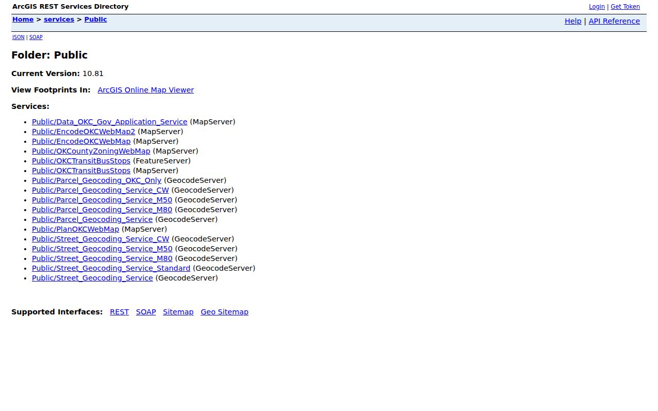
The public GIS directory is a useful fallback when an interactive map is unavailable. Research located the service and geocoder inventory, but not a documented interactive viewer control that transfers a clicked parcel directly to an owner card. Treat map geometry as geographic context, not proof of title or residence.
Verify Oklahoma City Postal Delivery
For one delivery address, use the official USPS delivery lookup rather than relying on a broad map label. Enter the address, or use the city-and-state route for current postal results. This verification step is especially helpful before an Oklahoma City postal-directory search moves into an Assessor query, permit record, or correspondence. It catches a stale ZIP, a wrong directional street form, or a postal label that reaches beyond the expected city area.
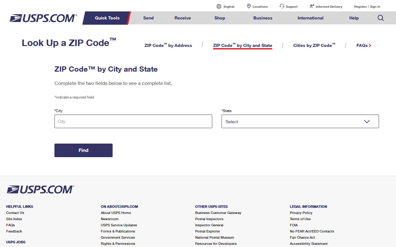
A USPS result confirms a delivery ZIP. It does not determine municipal jurisdiction, ownership, voter status, or everyone connected with an address. Keep the postal result alongside the city-boundary, parcel, and record-custodian results instead of treating it as a substitute for them.
Oklahoma City ZIP Search Fields
ZIP works differently across local records systems. The Assessor accepts a physical address and wildcard but its captured public form does not show a separate ZIP field. The Treasurer accepts name and address, not a ZIP-wide directory. The public voter portal asks for a known person’s first name, last name, and date of birth. The City permit search is the researched local portal that accepts ZIP along with street components and other address details. Use each field for its own record purpose.
| Local route | Search field or layer | What it narrows | Important limit |
|---|---|---|---|
| OKC permit search | ZIP, street number, direction, name, suffix, unit, date | Address-linked project and permit results | Older records go to City Clerk; public result is not a household list |
| County Assessor | Physical address and % wildcard | Current tax-roll parcel | No ZIP field in the captured form; direction matters |
| City GIS | ZIP/post-office boundary layers and parcel geocoder | Postal area and map context | Exact live filter controls were not documented in text capture |
| Oklahoma Voter Portal | Last name, first name, date of birth | One known voter’s registration check | Not a ZIP or broad resident search |
The permit system’s stated history reaches back to 1983, with a default search focused on the latest 12 years. If an older Oklahoma City record is needed, make a specific City Clerk request under the Oklahoma Open Records Act. The official research did not locate a citywide ZIP-resident roll, so a ZIP filter should never be described as one.
Find Oklahoma City Residents by ZIP
Use a ZIP as a narrowing step, not as a claim about every resident in an area. The most reliable sequence begins with an actual delivery address, then follows the official record keyed to that address. The result may be a current property account, an address-linked permit, or a confirmation for a person already identified. Each has a different date and scope.
- Verify the address and delivery ZIP with USPS, then compare the postal label with the City ZIP and boundary data.
- Use City GIS to place the address in the ZIP area and obtain parcel or map context.
- Search the Assessor with the physical address, keeping the direction and street form intact. Save the current account and legal description.
- Use a ZIP, street components, and date in the City permit search when property-work history is relevant.
- For a named individual, use the voter portal only when first name, last name, and date of birth are known, or make a specific records request through the eligible channel.
Once a ZIP has been narrowed to an address, the Oklahoma City Street Directory provides the parcel, deed, map, and historical address workflow. ZIP data organizes the area; the address-led record trail supplies the document context.
Note: A nonmatch in a name-based portal is only a result under the supplied identifiers, not proof that a person never lived nearby.
Oklahoma City Postal Search Terms
Postal terms are useful when they are kept separate from local government geography. The City dataset is a source for broad coverage and post-office labels, while USPS verifies delivery information. Parcel accounts, recorded deeds, and city boundaries answer different questions. These short definitions help keep a postal-directory search in the right lane.
- ZIP
- A postal routing area. It may cross or stop short of a city boundary.
- ZIP+4
- The basic ZIP plus four more digits that refine delivery routing for a smaller address group.
- PO-box ZIP
- A ZIP used for post-office boxes. It is a mailing designation, not a neighborhood boundary.
- Unique ZIP
- A ZIP associated with a single organization or high-volume recipient. The research did not identify a local example to add to the coverage table.
- Carrier route
- A delivery sequence used by postal operations. It is not a city ward, a parcel boundary, or a resident roster.
Oklahoma City Postal Data Gaps
Research did not locate an official ZIP split or realignment history for Oklahoma City, nor per-ZIP population or registration statistics. It is better to state that gap than to infer a change from a current map. Postal labels can change in meaning over time, while the city’s early growth, annexation history, and directional grid make old addresses a separate research problem. Use the City GIS Street Name Change layer, the Assessor legal description, and dated records when an address spans eras.
The City’s broader geography helps explain the caution. Oklahoma City’s 2025 Census estimate was 719,849 people across roughly 606.2 square miles. A city of that scale needs an address and boundary check after a ZIP search. The strongest result is one that records the postal answer, the municipal boundary finding, and the parcel or document source separately.
Oklahoma City Postal Limits
A postal directory can show where to begin, but it cannot prove that a postal label belongs to a city, identify a current household, or replace official records. The Assessor describes current ownership. The County Clerk holds recorded land instruments. GIS shows geography. The voter portal confirms one known voter under required identifiers, and some voter and address records are protected through the Address Confidentiality Program or Restricted Records Program. Utility accounts, delivery records, and DMV data are not public resident lists.
When an official online result is incomplete, request a specific record from the office that holds it. The Oklahoma County Assessor, County Clerk, City departments, Election Board, library, and archives provide separate access paths because the records are not interchangeable.